AccuWeather


- Wind Advisory
* WHAT...Northwest winds 20 to 30 mph with gusts near 50 mph expected. * WHERE...Mojave Desert Slopes. * WHEN...Until 4 AM PDT Saturday. * IMPACTS...Travel will be difficult, particularly for high profile vehicles. Blowing dust may reduce visibilities at times. * ADDITIONAL DETAILS...Highways affected include, but are not limited to Highway 14 and Highway 58 below Tehachapi Pass, including the town of Mojave.More
- Special Weather Statement
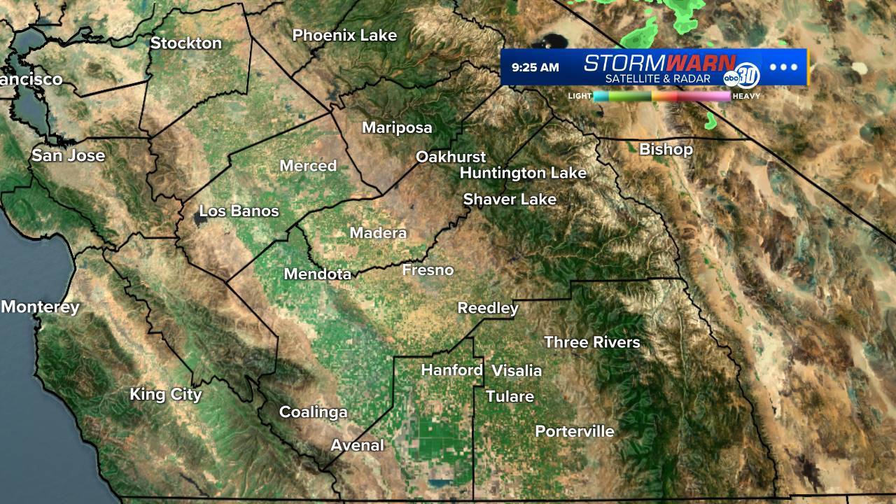
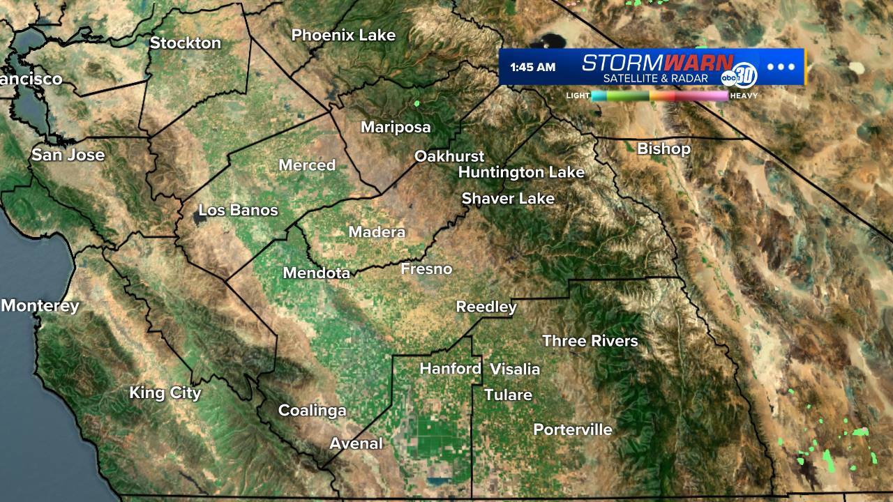
At 329 PM PDT, Doppler radar was tracking a strong thunderstorm 18 miles east of Yosemite South Entrance, moving northeast at 10 mph. HAZARD...Wind gusts up to 40 mph and pea size hail. SOURCE...Radar indicated. IMPACT...Gusty winds could knock down tree limbs and blow around unsecured objects. Minor hail damage to vegetation is possible. Locations impacted include... Clover Meadow Wilderness Office, Minarets, Graveyard Meadow, and Green Mtn.More
- Special Weather Statement
At 327 PM PDT, Doppler radar was tracking a strong thunderstorm 10 miles southwest of Olancha, moving northeast at 10 mph. HAZARD...Wind gusts up to 40 mph and pea size hail. SOURCE...Radar indicated. IMPACT...Gusty winds could knock down tree limbs and blow around unsecured objects. Minor hail damage to vegetation is possible. This storm will remain over mainly rural areas of east central Tulare County.More
- Special Weather Statement
At 324 PM PDT, Doppler radar was tracking a strong thunderstorm 17 miles northeast of Three Rivers, moving south at 15 mph. HAZARD...Wind gusts up to 40 mph and pea size hail. SOURCE...Radar indicated. IMPACT...Gusty winds could knock down tree limbs and blow around unsecured objects. Minor hail damage to vegetation is possible. Locations impacted include... Bearpaw Ranger Station, Atwell Mill Campground, Chagoopa Plateau, Cold Springs Campground, Wolverton Point, Kern Canyon Ranger Station, Quinn Patrol Cabin, Pear Lake Ranger Station, Farewell Gap, Wet Meadows, Hockett Meadow Ranger Station, Little Five Lakes Ranger Station, Mineral King Ranger Station, and Redwood Meadow Patrol Cabin.More
- Special Weather Statement
At 319 PM PDT, Doppler radar was tracking a strong thunderstorm 10 miles southwest of Inyokern, moving east at 25 mph. HAZARD...Wind gusts up to 40 mph and pea size hail. SOURCE...Radar indicated. IMPACT...Gusty winds could knock down tree limbs and blow around unsecured objects. Minor hail damage to vegetation is possible. Locations impacted include... Inyokern, China Lake Acres, and Indian Wells Canyon.More